
")
")
FLOATING CAR DATA
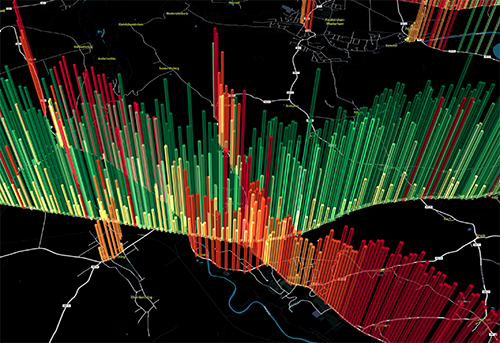
Floating Car Data
#FCD #FTD #FPD #GPS-Tracks #Floating Truck Data
Floating car data describe routing information of vehicles that are being generated through smartphones and onboard-units as also from vehicle fleet management systems. All of these data come from partners whose data are generated and processed (approval from user or company) acoording to the European general data protection regulation (DSGVO).
The anonymisation is carried out through the concealment of start and finish point (blurring) as well as through daily allocated randomised IDs. Backtracking to the user / driver / company is impossible.
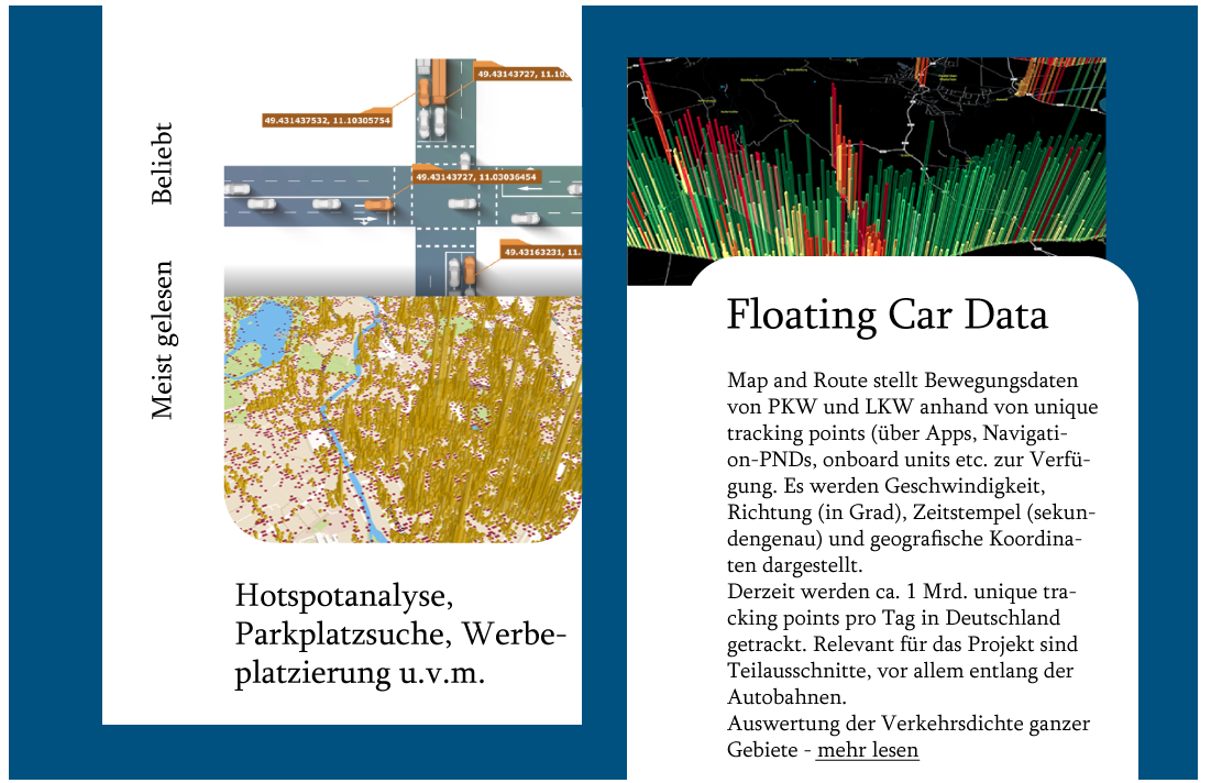
What remains are important core data: GPS tracks (data points) with time stamps, geo coordinates and driving directions (in degrees). When we connect these data we can derive routing information of vehicles in complete Germany! Also as a historical data record (beginning yesterday back to the year 2018).
Operational areas
Customers and partners of Map and Route apply theses FCD mainly for Research and development purposes (traffic/mobility) but also site assessment within retail and infrastructural projects. Map and Route serves as a data utiliser in second place that resells the data aggregated through third parties. Map and Route also deploys FCD in the mFund project Meteo-Value-Live as a reference for traffic density as well as preliminary inquiry for truck parking space occupancy.