

")
")
- Data Specialist
- Cartography
- Navigation
Map and Route
Location Business Enabler
MAPPING
We are "Map and Route"
We place everything on one card: Strategy, Data Sourcing, Navigation
#Data Sourcing
Identification, provision and
enrichment of high quality data
up to date
#GIS & Mapping
For all questions
around
a map
#Navigation & logistics
Modern routing and
navigation solutions for
commercial vehicles and busses
DATA
Data
Data for your business processes
#Data Sourcing #Location Business #Data enrichment
High-quality data are the foundation of all modern business processes. These data can be generated from various sources within a customer project. For instance content management systems (CMS), customer relationship management systems (CRM), sensors or other applications and external sources that can be used to generate data. Either way, Map and Route will find and connect to the appropriate data connections and identify the true pearls of data content. After identification we will qualify and enrich your raw data and make them suitable for you and your customers. Our focus lies on all data with an aerial character to process them through a geographical information system (GIS).
Together with our partners in Europe we can provide nearby all data, up to date and according to the European general data protection regulation (DSGVO).

FLOATING CAR DATA

Floating Car Data
Analysis of movement profiles on selected areas and around your location
#movement data #tracking points #traffic density
We can deliver movement data of passenger cars and trucks with readings from velocity, driving direction, time stamp, target group membership and many others. Depending on the scope of work demanded we will generate access to different data sources.
- Movement data from passenger cars and trucks according to unique tracking points (through apps, navigation-PNDs, onboard units, etc.)
- Presentation of velocity, direction (in degrees), time stamp (to the split second), geographical coordinates
- Currently we handle up to one billion unique tracking points per day in germany. Relevant for projects are especially parts of data among the highways.
- Evaluation of traffic density in complete areas
- If needed also available: urban geometric analysis
- Differentiation between trucks including busses and passenger cars
LOGISTICS
Transport logistics
Modern routing- und navigation solutions
#Company navigation #Traffic solutions #Intermodality
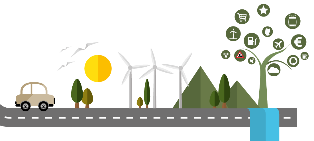
Map and Route uses common map solutions to develop special routing services (route planning) as well as navigation solutions for utility vehicles (trucks, transporters, busses, standard cars). As a one basic source we use the navigation app MapTrip®, special aggregated traffic data (construction sites, road blocks, traffic density etc.) as well as all data for necessary traffic interruptions (fueling stations, fuel prices, service areas, parking areas, parking occupancy etc.) are being integrated. The relevance of the ETA (estimated time of arrival) reflects from the up-to-dateness and quality of the Map and Route logistic solutions.


CARTOGRAPHIE
Map solutions
Map solutions print and online
#Cartography #Mapping #City Maps #Tailor-made products & services
All services around the map and the aerial topology belong to our core competences. Starting with the well-known city-map up to premium fully customised maps and map solutions for sales, transport logistics, traffic research and development etc.
We have got maps for whole Europe that can be automatically generated at presssing the button. Optional map layers with aerial pictures and high-quality points of interest (POI) enrich the services for our customers. Our customers come mainly from directory business www.gelbeseiten.de, www.dasoertliche.de and
www.dastelefonbuch.de, (German yellow pages, local pages and white pages) whose traffic is being fostered through our maps.